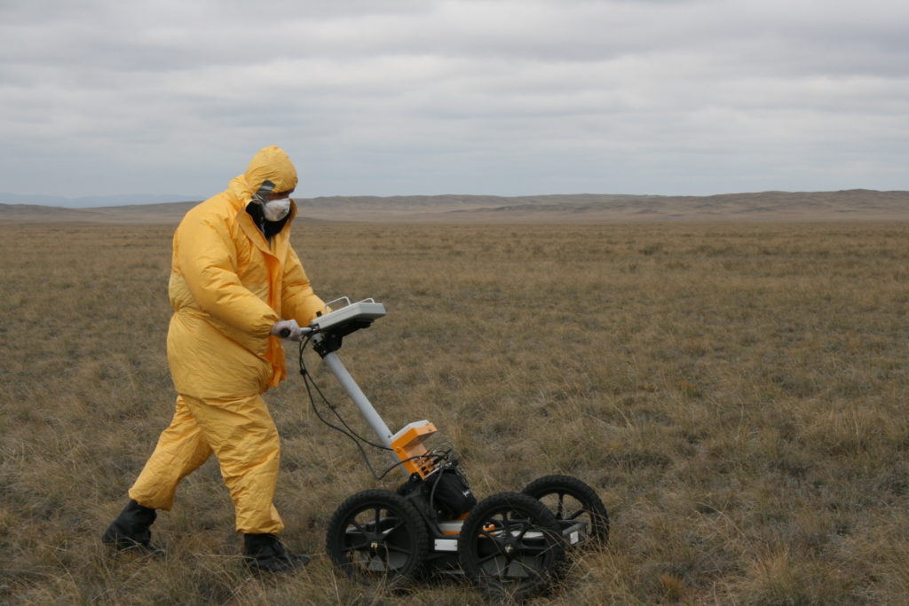
 Ground penetrating radar (GPR) is a technology that uses pulses of electromagnetic energy sent into the ground to create reflections from the ground compositions and objects within the ground. These reflections can then be analyzed by software and turned into a plot or map projection so that objects within the ground can be identified or the ground composition can be analyzed. In this way, GPR is a non-destructive method of detecting and identifying underground objects that is safe for the users, plant life within the ground, and the objects under observation.
Most GPR systems use relatively low frequencies in the tens to hundreds of megahertz (usually 1 GHz at the highest) to better penetrate the ground. GRP systems can be used to find metals, plastics, concrete, natural minerals, ore, and virtually any object that has a signature different enough from the surrounding ground composition and of a large enough size to be detected.
GPR technology is commonly used in the construction industry to determine the exact locations of underground utility lines, pipes, and buried structural components/debris. GPR is also used to analyze the ground strata or ground composition, and may be used during a site analysis. Geological research can also be performed with GPR, as rock features and obstructions can be determined. Ground water tables may also be determined accurately with GPR. This technology has also been used in archeological excavation of buried gravesites, tunnels, and other man made buried structures and objects. GRP can also be used to detect and identify buried explosures, including unexploded landmines, which plague many regions of the world.
GPR transmission signals are usually either short pulses or stepped frequency, i.e. frequency modulation (FM). GRP signal modulation may be used, much like with other types of radar, depending on the application requirements. FM GRP signals are less susceptible to system and external noise, but are more computational expensive and require more complex RF circuitry.
Most GPR systems use two antennas, one for transmission and one for reception, and are physically “scanned” across the terrain, but in the same way a metal detector is used, or in a method that best facilitates the mapping/detection algorithms. After the pulse/signal is transmitted into the ground, the receive antenna picks up the reflections for a specified time window that limits the depth range of the GPR. The receive signals are then processed and the signals are combined into a reflection trace known as an A-scan, along with the time domain data of the signal travel path. In this way the depth and size of an underground object can be determined relatively accurately. In response to objects detected in A-scans, B-scans can be performed to further map the area for which the object of interest is contained.
The signal-to-noise (SNR) performance of a GPR system can be improved in a given use case by employing either averaging or background removal (calibration). With background removal, an area with soil composition similar to that which will be scanned but contains no buried objects is scanned several times to create a correction that can be applied to future scans to remove the “background noise” or response of the ground composition. Averaging may also be used, where several scans are taken and the response of the sample scans is averaged.


 Pasternack Blog
